Hiking
Be well prepared, enjoyable and safe on the road - even without an Internet connection.Mountaineering
Risk assessment and professional navigation.Switzerland
Reliable maps and elevation model. Up-to-date protected and restricted areas. Airspaces for hang gliders. Routes, timetables and POIs (such as restaurants, parking lots, places of interest, etc.).Alpine region and worldwide
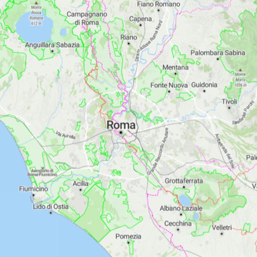
OpenStreetMap outdoor maps, OpenTopoMap and aerial photographs worldwide. Elevation models for Western and Central Europe. Hiking trails, cycle routes and POIs for selected areas.Aviation
Important information for preparation, planning and execution. For drone, helicopter and sport flights.Tools
Measure, draw, search, capture, import and share.Configurable maps
Flexible profiles for your purpose.FAQs and support
If you have any questions about the operation, features or subscription, costs and range of functions, take a look at our FAQ collection.For hikers, walkers, runners and strollers
Well prepared, fun and safe on the road.
Trails and routes
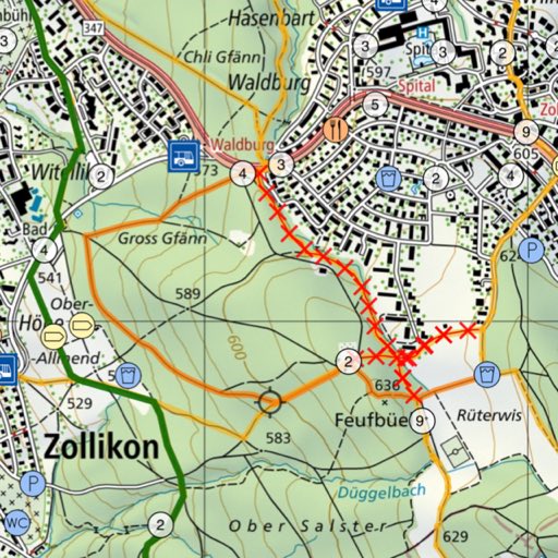
Entire Swiss hiking trail network as well as all other trails and roads.
The display of closed trails is updated daily via internet connection.
Routes from SwitzerlandMobility.
Comprehensive search
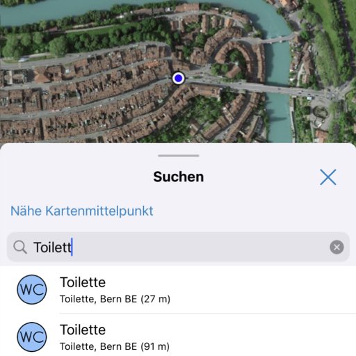
Search for place and field names, municipalities, POIs, coordinates, addresses and SwissMobile routes. All this also offline, of course.
You can search specifically for objects in the vicinity of the center of the map. For example, restaurants or public restrooms.
Route planning
Swiss Pro Map automatically finds routes along hiking trails, paths and roads. Of course, SwitzerlandMobility routes are also available.
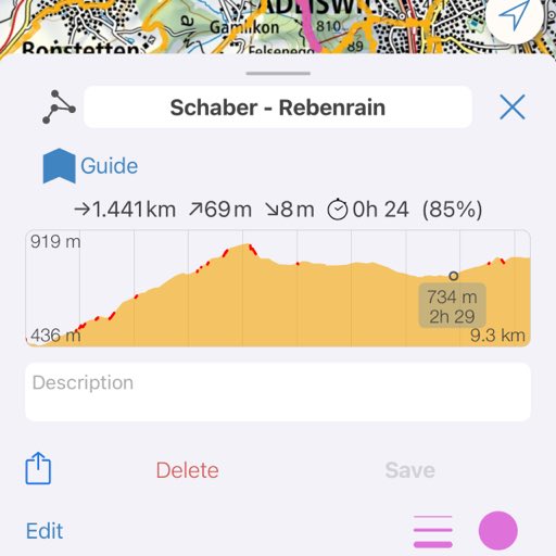
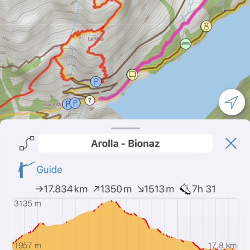
Each route or track is displayed with elevation profile and your current position in the elevation profile.
Everything for on the way
Public transport stops and the current SBB timetable are available offline.
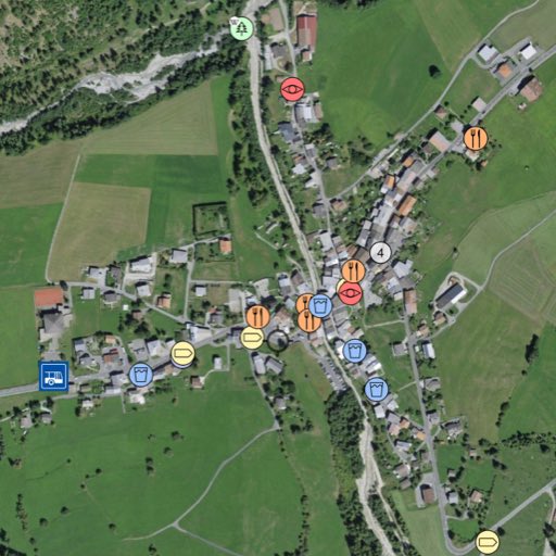
Parking spaces, signposts, benches, toilets, restaurants, tourist attractions, etc. can be optionally displayed.
Guide
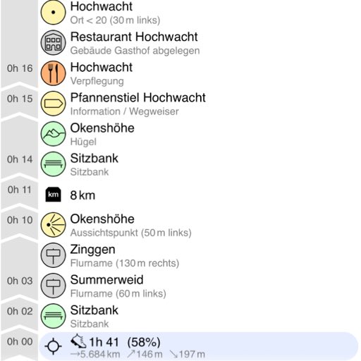
The guide collects information relevant to a route. Not only ascents and descents, distance markers, or the highest point are displayed, but also drinking fountains, fireplaces, restaurants, public toilets, points of interest and a whole range of things that may be of interest on an excursion.
The guide calculates the walking time until such a place is reached. You decide what is displayed.
For mountain guides and mountain sports enthusiasts
Optimum orientation and navigation.
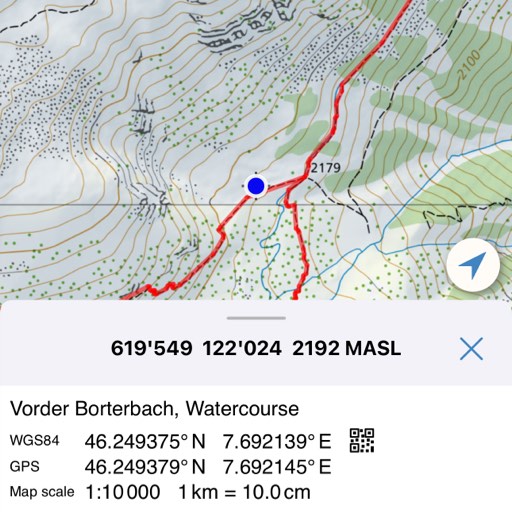
Coordinates, altitude and position on the map
The current position on the map is available at any time, even offline, with the indication of coordinates and altitude.
The search can be used to find coordinates in various formats and display them on the map.
Navigation
Possibility to orient the map to the north.
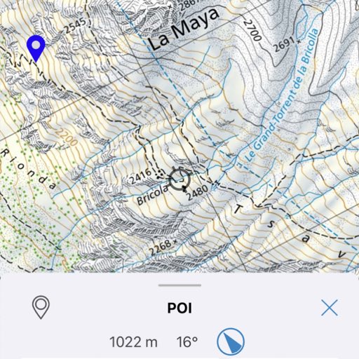
A compass needle indicates the direction to a marked location.
Navigation along a route with display of the next waypoint.
Everything offline as well
After downloading the required content, no Internet connection is required for the full functionality of Swiss Pro Map. Of course, you need an Internet connection for links to websites.
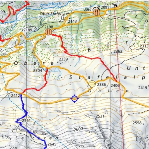
Preparation
Swiss Pro Map is convenient for recording tracks. Own routes can be created and edited. All routes, tracks and marked locations can be exported and shared.
Routes, marked places and tracks can be imported into Swiss Pro Map.
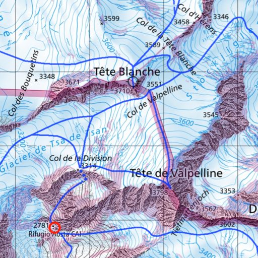
Essential Additional Information
swisstopo map sheet, SAC huts, trail network, field names, drinking water and shelters, and much more, can be shown.
For winter sports enthusiasts, the snowsports map includes slope gradients, wildlife sanctuaries and wildlife rest areas, as well as snowshoe routes and ski routes.
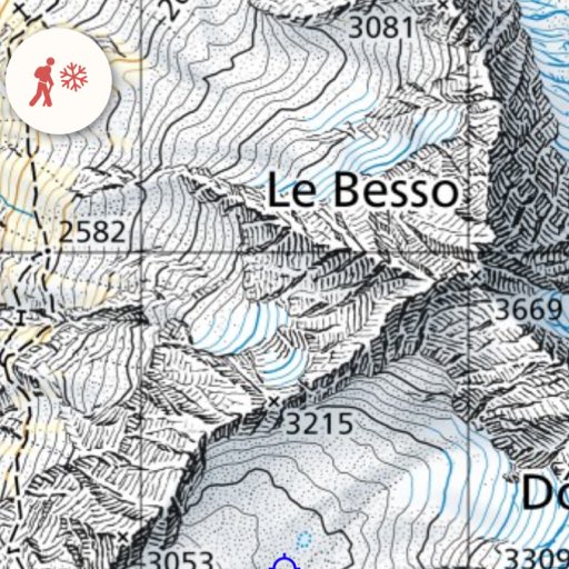
Use under difficult conditions
A reduced operation mode facilitates the use of the app in the field, even in difficult conditions.
All maps can also be displayed in double size.
Up-to-date and reliable information
For hikers and alpinists
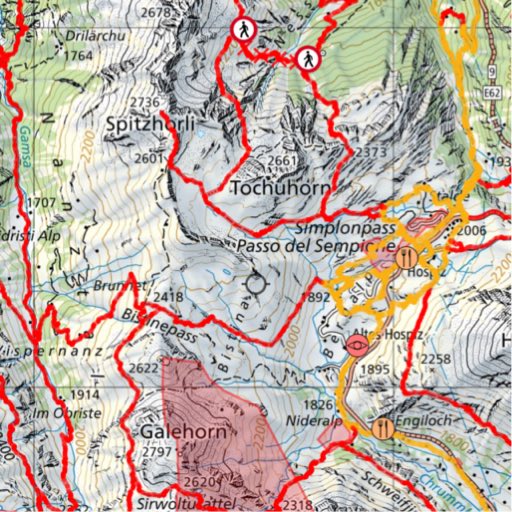
Closed hiking trails, updated daily via an Internet connection.
Guard dogs, shooting areas and danger zones.
For drone and model pilots
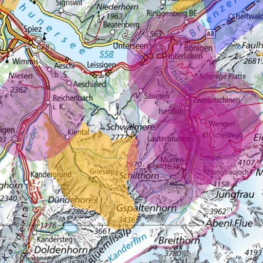
Current protected and restricted areas on all maps.
Aerial and satellite imagery
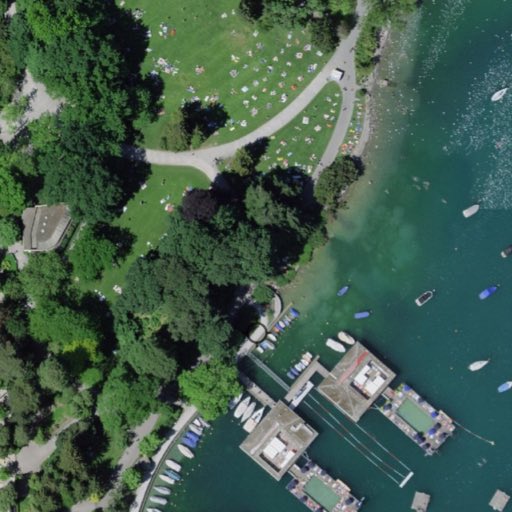
The orthophoto mosaic SWISSIMAGE is a composition of high-resolution color aerial images over the whole of Switzerland. Satellite and aerial images are available worldwide via MapTiler.
Relief shade
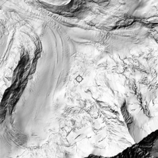
The relief shading is based on the swissSURFACE3D digital elevation model. It is a digital shading image from several light incidences. The average position of the sun is in the northwest.
Worldwide, in the Alpine region, the Canary Islands and Corsica
Elevation models, hiking trails, cycle routes and POIs
Elevation models for Western and Central Europe. POIs and routes for the Alpine region as well as Corsica, Scandinavia, northern Germany and the Canary Islands.
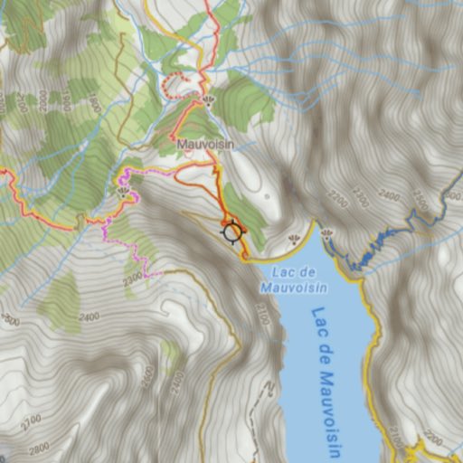
OpenStreetMap Outdoor worldwide
For Swiss Pro Map we have optimized OpenStreetMap maps especially for hiking and outdoor activities.
OpenStreetMap is created by a large number of volunteer mappers who collect and maintain geographical data worldwide. OpenStreetMap maps are updated and updated frequently. They are often more up-to-date than swisstopo's national maps.
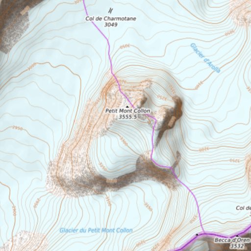
OpenTopoMap worldwide
OpenTopoMap renders topographic maps from OpenStreetMap and data from the Shuttle Radar Topography Mission (SRTM). OpenTopoMap OpenTopoMap is being developed by volunteers.
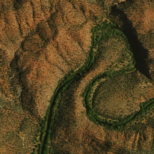
Aerial images worldwide
Satellite and aerial images are provided by MapTiler.
For heli pilots, drone flying, paraglider and sport pilots
Useful geo information for the preparation, planning and execution of flights and operations.
Obstacles
The FOCA aviation obstacles are updated daily via an online connection.
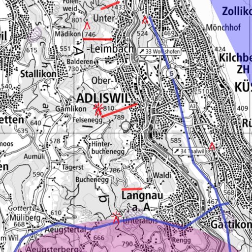
Air spaces for Gliding and Paragliding
The airspace data are provided by the Swiss Hang Gliding and Paragliding Association SHV/FSVL.
If there is an internet connection, Swiss Pro Map updates the data daily.
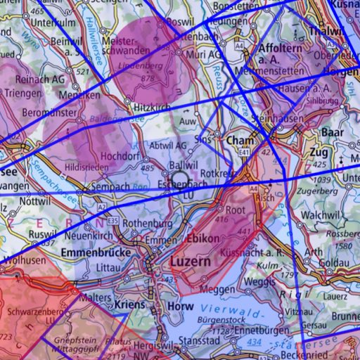
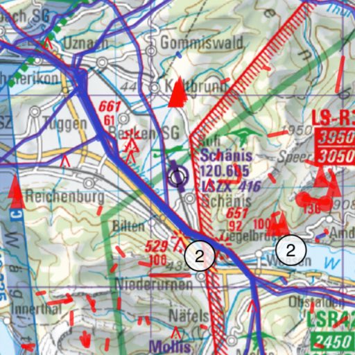
Useful information for pilots
Protected areas, landing sites and airspaces.
The latest ICAO and glider maps for Switzerland.
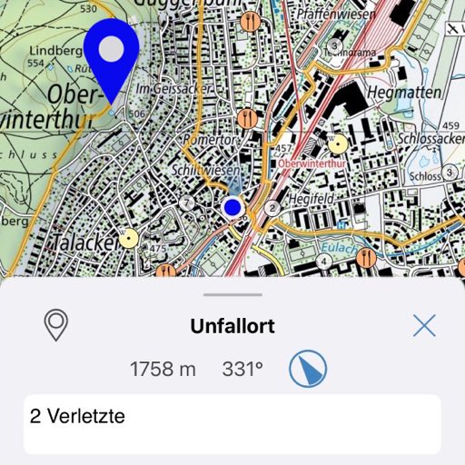
Features for air rescue
Easy-to-use measuring, also for area measuring.
Navigation to a marked place (POI).
Tools
Measure, Draw, Search, Capture, Edit, Record, Share
Measure
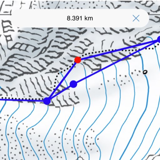
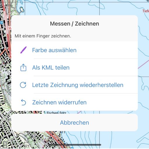
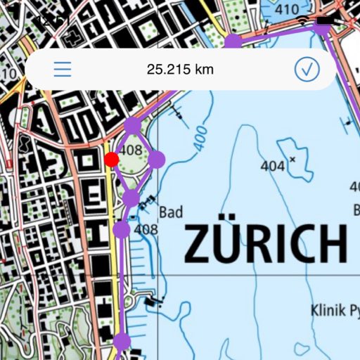
Simply draw and measure distances and areas. Draw distance or area on the map with your finger.
Routes and areas can be labeled and exported as KML and shared.
Plan routes, mark locations and record tracks
Swiss Pro Map not only finds routes along paths, you can also record routes manually as desired. Tracks can be recorded in the background. All routes and tracks can be edited and changed.
Routes, tracks and marked places can be imported and shared.
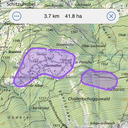
Draw and label
Draw areas and places on the maps and label them.
The areas can be imported, saved and shared as a KML file.
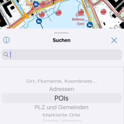
Comprehensive search
KCoordinates, place and field names
Addresses
POIs
SwitzerlandMobility routes
Wenn die Daten über das Internet heruntergeladen wurden, funktioniert die Suche immer offline.
Mac desktop and notebook computers
Swiss Pro Map runs not only on Android and iOS, but also on all Macs with M1 processor or higher: you can plan your excursions on a large screen.

Import and Share
Import tracks and coordinates via copy-paste into the search field or via a QR code. Swiss Pro Map not only supports GPX, KML and KMZ files, but also coordinates in the formats Google Plus Code, Apple, Waze and Google Maps URLs, OSM short links and many more.
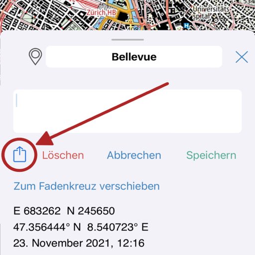
Share and export locations, tracks and routes.

Share
Share tracks, routes, and marked places or save them on your device.
Profiles and configurations
Whether hiking, mountaineering, flying or cycling - with the profiles there are presets for every outdoor activity. You can switch effortlessly between different areas of use. We have prepared nine profiles. These profiles can be customized individually. Once a profile is active, all changes are automatically saved in the profile.
Hiking
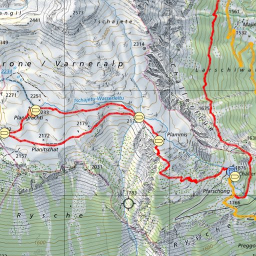
Hiking trails and mountain trails, public transport, drinking water, food, viewpoints, points of interest, fireplaces, signposts, toilets, guard dogs. Everything it takes for a hiking map.
Mountaineering
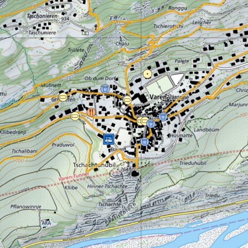
Hiking trails, mountain and alpine trails, SAC huts and shelters, signposts, drinking water, public transport and much more, but not too much, because orientation and navigation with the map is the focus.
Strolling
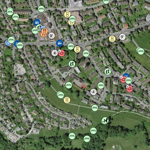
Playgrounds, benches, castle ruins, places of interest and also the mountain and cable cars of public transport.
Winter sports
Routes for skiing and snowshoeing, sledding trails, cross-country skiing trails and winter hikes from SwitzerlandMobility, slope gradient, slope classes, wildlife protection areas, wildlife rest areas and other useful information such as timetables and restaurants.
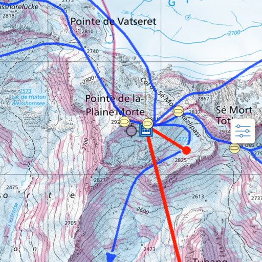
Drone flying
Sensitive areas, protected areas, restrictions on drones, control zones, airfields.
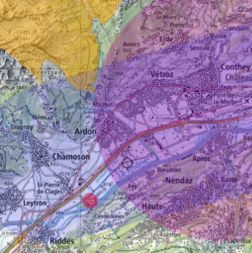
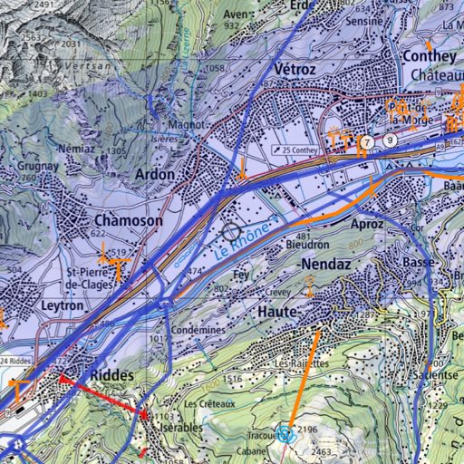
Hang Glider / Paraglider
Current aviation obstacles and power lines, airspaces, danger zones, airfields.
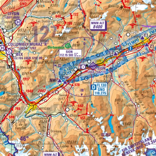
Flying
ICAO maps, glider maps, obstacles, landing sites, protected zones.
Mountainbike
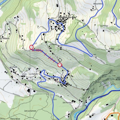
OSM Mountain Bike Trails, OSM cycle paths, mountain bike routes from SwitzerlandMobility. Closed trails, updated daily.
Bicycle
Speed adapted for bicycle for route planning, OSM cycle routes, cycle routes from SwitzerlandMobility, closed cycle routes, updated daly Shelters, food, drinking water and more.
Worldwide
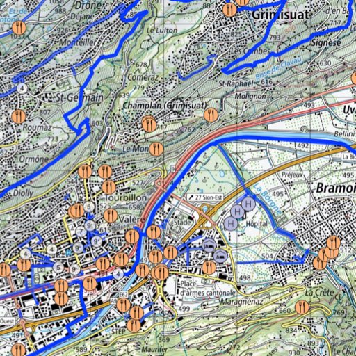
Swiss Pro Map is not only available for Switzerland. OpenStreetMap and OpenTopoMap offer worldwide map coverage - also offline in Swiss Pro Map. In addition, location-based information (POIs) from both Wikipedia and OpenStreetMap is provided for Corsica, Scandinavia and the Canary Islands. The elevation models cover the whole of Western and Central Europe.
